
Map infrastructure
precisely
in hours
not weeks
CITYSCANNER® brings your infrastructure so you may use real data to get the job done

Getting the job done.
As long as there is a technical possibility to describe the item of interest or to create the sensor, CityScanner is able to use it and gather the data.
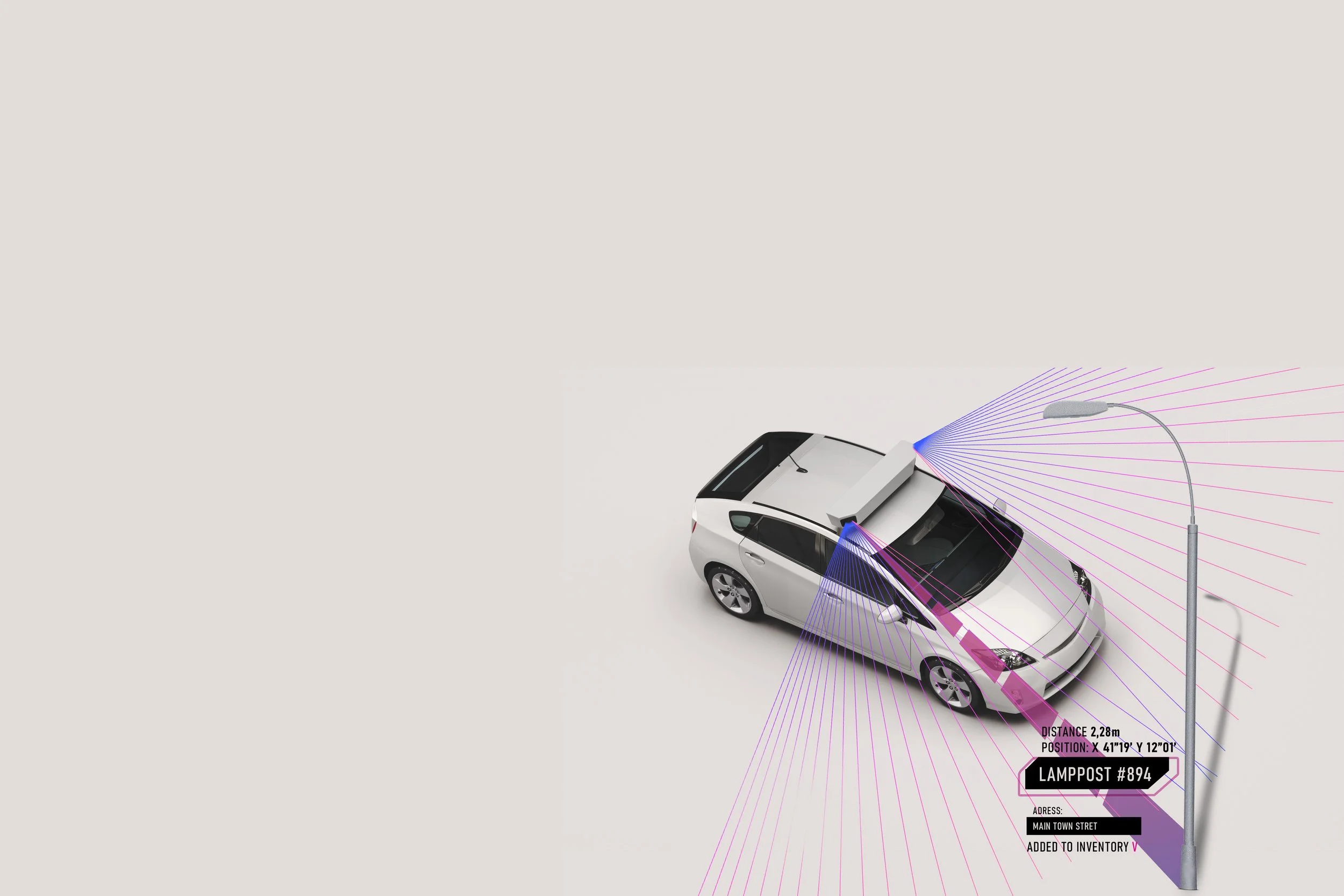
One pass measurement of the choosen infrastructure elements with exact locations.
-
![]()
Accuracy
Number plate information is augmented with high precision GPS location (up to 5 centimeters at any speed). Up to 99% ANPR accuracy rating.
-
![]()
Connectivity.
Supports several standards protocols to deliver the data to the place of your choice. Ready for custom data integration.


Item 1 of 4
Automatic mapping leads straight to saving time nad money

The new standard in speed and accuracy of data gathering, smart infrastructure mapping.
